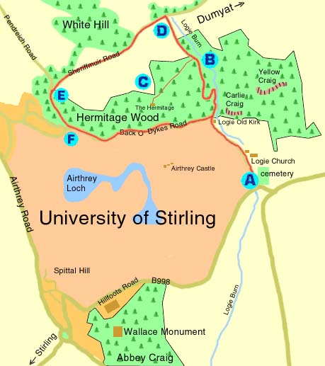
Starting from Logie church car park, you should be able to complete this circular walk in an hour and a half. Logie church can also be accessed from the rear of Stirling University which is built on the old Airthrey estate. You could make it a shorter circuit by making your way down through the Hermitage Wood and returning along Back o' Dykes.
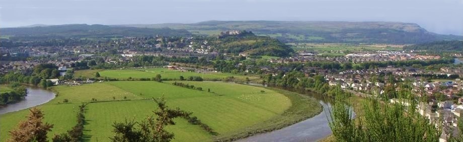
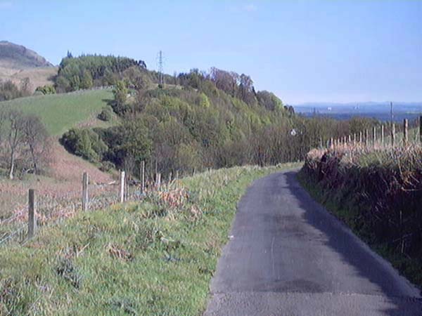
Travel from Stirling in the direction of the Wallace Monument. Take the Hillfoots Road up past the monument then follow the road to the bottom of the hill. Take the left turn which is signposted for Logie Church (A).
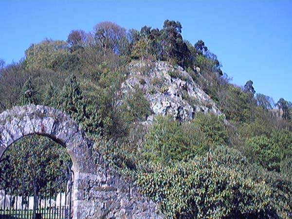
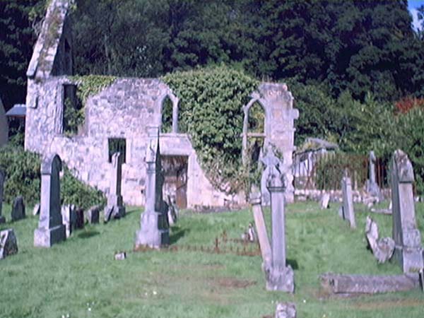
Follow the road along past Logie new church. The walls on the left of the road belong to the old Airthrey estate which is now the campus of the University of Stirling. Soon you will come to the ruin and churchyard of Logie Old Kirk which dates from around 1684. Towering over the churchyard is Carlie Crag, a known meeting place for witches.
Continue along passing Garden Cottage and the entrance to Back O' Dykes Road. Keep following the road up the hill. This is a pretty road, lined on either side with mossy dry stone dykes and with the Logie Burn running down on the right. The road takes a sharp turn to the left and when it turns to the right again, you will pass an access gate for Airthrey Service Reservoir.
Continue up the hill until you see a gate marked Broomhill Private (B). Over on the right you will see a doorway set in the high, stone wall.
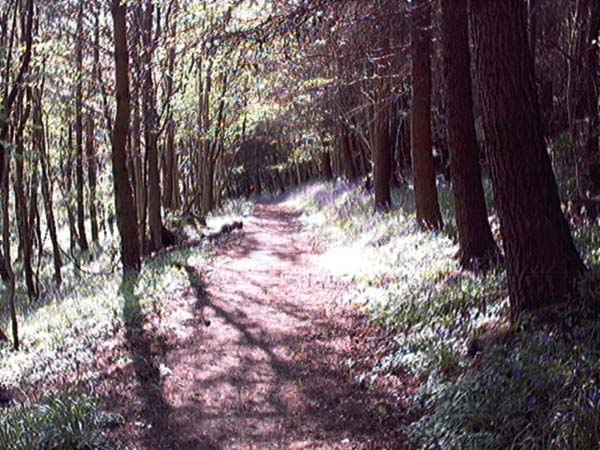
It's worth making a short detour into the woods here to follow a path which takes you through the trees to the Hermitage. Follow the right hand path and just after you cross a dried up burn, the path divides. The left path takes you down past the service reservoir so, keep walking straight on.
On your left, you will eventually notice a 7ft high, stone wall . As you reach the corner of the wall (C), make your way towards the edge of the hill and you should be able to locate the Hernitage.The woods are rich in plant and animal life. In May, the route was covered in Bluebells and Primroses and there were roe deer running around the path.
When you are ready, retrace your steps back through the woods and carry on up the road. The hill you see up on the right is Dumyat. When you reach the Sherrifmuir Road (D), turning to the right will take you to a lay-by which is the start point for a good walk route to the top of Dumyat.
Turn to the left and it's downhill all the way. Be aware that here can be quite a few vehicles on this stretch of the road. Walk on until you reach the junction with Pendreich Road (E). Go to the left and follow the road down a through a deep channel in the wooded and overgrown rock.
At the bottom of the hill, turn left into Back o' Dykes road (F). The track is badly rutted and can get really muddy if there has been a lot of rain. Follow the track along to Garden Cottage then turn to the right and back to Logie church car park.
Click on an image to see a larger photograph
A From Logie church car park, walk along past Logie Old Kirk and follow the road up the hill.
B When you come to a gate marked BROOMHILL PRIVATE, go through the doorway set in the high, stone wall on the other side of the road. This leads you on a path through the woods to the Hermitage.
C On the left, you will notice a 7ft high, stone wall . At the point where the wall changes direction, make your way towards the edge of the hill and you should be able to locate the Hernitage.Retrace your steps back to the road.
D When you reach the Sherrifmuir Road. Turn to the left and it's downhill all the way back.If you turn to the right and walk for a few minutes you will come to to a lay-by which marks the start of a good footpath to Dumyat.
E At the junction with Pendreich Road, turn left and follow the road down a deep channel through the wooded and overgrown rock.
F At the bottom of the hill, turn left into Back o' Dykes road and make your way back along to Logie Church where you started.