A beautiful walk at any time of the year. A good idea is to follow a circular route from Bridge of Allan, walking to Dunblane and catching a train back to Bridge of Allan. The walk can be completed in 1.5 to 2 hours but there's a lot to see so you could easily spend the whole day.
Turn off Henderson Street into Blairforkie Drive at the Bridge over the Allan Water. Go up the hill until you see a timber signpost for Dunblane 2.5miles and the start of the path (A). This is a well maintained path but it can get muddy and slippery after heavy rain. A popular route for families but keep a close watch on children and dogs as there are some steep drops and in places the path goes close to the edge. Go past the new housing estate on the left. The path carries on with the river Allan to the left and a field of horses on the right. Cross the small timber footbridge, marked Stirling Council Countryside Service, built over a section where the path has worn away. There are plenty of opportunities to stop along the route and you will be rewarded with a different view as you round each bend.
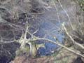
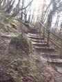
A little further on, the path leads you down some concrete steps, through a channel in the rock and into a gulley where the Cock's Burn tumbles over rocks and fallen trees before flowing into the River Allan (B). Dense and shady, this is an atmospheric place where time seems to stand still. Cross the little footbridge over the burn. Take care on this short stretch as the path is narrow and often slippery. Follow the path round to the right, up into the woods and over the hill. The path leads to some timber steps which help you down a steep incline.
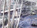
As you walk along, keep a lookout for a cave on your left - the Darn Road walk was a favourite of Robert Louis Stevenson and it has been suggested that the cave was the inspiration for Ben Gunn's cave in Treasure Island. Go on a little further until you come to the footbridge over the Allan (C). This is where you should cross if you want to walk back to Bridge of Allan on the opposite bank of the river (see Walk 1).
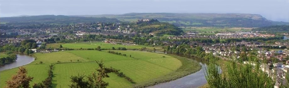
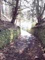
To keep following the Darn Road, walk past the footbridge and on until you come come to the new timber footbridge over the Wharry Burn. The path then climbs up hill between moss covered stone dykes, through the woods and fields until Dunblane gradually comes into view on the left (D). The path skirts Dunblane golf course and deposits you near the bus stop on the Stirling Road (E).
Cross the road and go down the hill, onto Dunblane High Street. Spend some time in Dunblane and then catch a train back to Bridge of Allan or Stirling.
Click on the images below to see some larger pictures along the Darn Walk
A From Henderson Street, turn into Blairforkie Drive.Proceed up the hill till you come to the signpost marked Dunblane two and a half miles.
B Climb the concrete steps down through a channel in the rock to a gulley where the Cock's Burn flows down to the Allan.
C Continue straight, along past the footbridge over the River Allan - Do not cross. Cross the timber footbridge over the Wharry Burn and follow the footpath up the hill
D Keep to the path which will eventually take you along the edge of Dunblane Golf Course
E The path brings you out on the Stirling Road near the bus stop. Cross the road into the village of Dunblane where you can catch a train back to Bridge of Allan or Stirling.